Program Goals:
The goal of GEOBRIDGES is to address local and regional workforce needs by increasing the number of trained Geospatial Information Science and Technology (GIST) technicians from diverse ethnic and socio-economic backgrounds, including students from the local Eastern Shoshone and Northern Arapaho tribal communities. In order to do this, GEOBRIDGES accredits and integrates geospatial courses into outdoor field expeditions in order to expand recruitment and retention of GIST students. GEOBRIDGES is supported by an Advanced Technological Education (ATE) grant, which supports partnerships between academic institutions and employers to improve science education and better prepare students to enter the workforce. Additionally, this grant provides funding to support students in condensed, for-credit summer classes in GIST and related fields.
Program Components
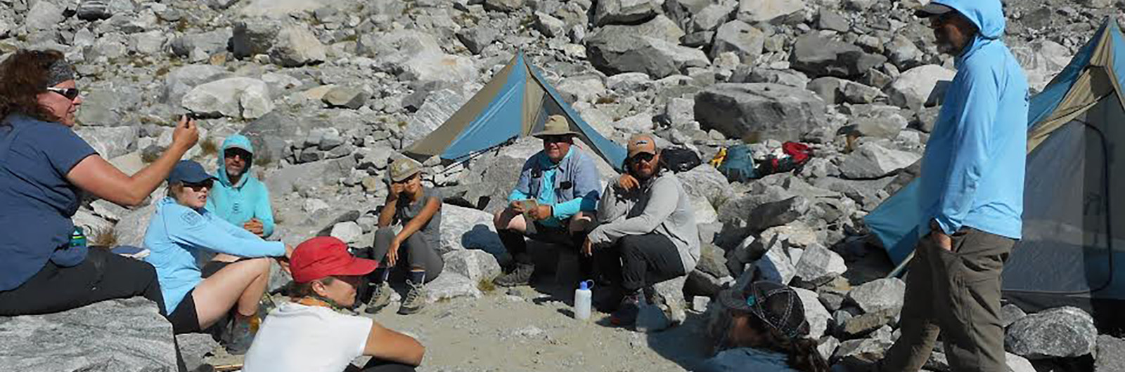
- HIKES: HIKES (Holistic Integration of Knowledge and Experience in Science) is a pivotal component of the GEOBRIDGES program that provides students with the opportunity to gain real-world experience designing and working with geospatial technologies within a wilderness environment. This program is in partnership with the Shoshone National Forest, and helps students develop the skills they need to become backcountry rangers and field technicians for the United States Forest Service (USFS). HIKES is a for-credit, project-based learning initiative marries Wilderness Backpacking, Navigation, Leadership, Ecology, Scientific Methodologies, and Field-Based GIST. HIKES students work with CWC GIS and Outdoor Education faculty and professionals from Shoshone National Forest to complete an intensive project to study Wilderness environments. This is structured into three phases: Expedition Preparation, where students learn the fundamentals of GIS and field research; The Expedition, an immersive fieldwork experience applying these skills to collect data in the Wind River Mountains; and Data Analysis, where students synthesize their findings using advanced GIS technologies. This hands-on approach not only enhances technical skills but also fosters critical thinking, leadership, and teamwork. Students leave this expedition with many of the core skills they need to work for a variety of positions for the USFS and other land managers.
View HIKES StoryMap. - Archaeological Field School & ICCE Archaeology: The GEOBRIDGES Archaeological program integrates credited GIS classes with credited field archeological field schools from the foothills of the Wind River Mountains, up to the highest elevation locations in Wyoming. This interdisciplinary program teaches students how to build geospatial tools and data dictionaries to collect field data, includes a field survey expedition to one of the largest Bison Jump complexes in the Americas, and for top performers, a research expedition to some of the highest elevation archeological sites in North America. The skills gained in this program will help students prepare for jobs as GIS specialists, archeologists, land managers, or for careers as Tribal Historic Preservation Officers.
- Research: Curriculum, course work and skills developed through the GEOBRIDGES program help support student-led research in areas like glaciology, wetlands, and climate science in some of the most remote regions of the continental US. Additionally, the geospatial and research skills gained through these integrated expeditions help students develop skills that will propel them into careers in GIST in tackling environmental issues.
- Standalone Courses: GEOBRIDGES also supports stand-alone courses to help students interested in GIST expand their job training and workforce opportunities. This inclu des the course: Geospatial Applications of Unmanned Aerial Vehicles, which teaches students the skills needed to fly professional drones and analyze the geospatial data collected with it. This course offers a mix of outdoor fieldwork and indoor data analysis, equipping students with the latest GIST skills in UAVs.
Conclusion
GEOBRIDGES is a launchpad for innovation, diversity, and professional success in the geospatial and natural resources fields. With support from the ATE grant and our partnership with the Shoshone National Forest, we’re redefining GIST education with hands-on, real-world, fun, and impactful learning experiences.