Guenther used military applications of GIST while serving as a first lieutenant in the 82nd Airborne and is now pursuing a GIST degree at CWC. GIST is a fast-growing field which uses contemporary software and hardware to facilitate data collection and presentation, and assists in identifying spatial relationships and trends. GIST harnesses the power of satellite imagery, 3D mapping and computer science to collect data and analyze features on the earth’s surface.
Geospatial mapping is used in industries ranging from oil field development and resource exploration to monitoring and improving wildlife habitat. This field of study prepares students to be technicians working in a variety of useful professions including planning urban growth, designing roads, managing forests, exploring natural resources, mapping natural disasters, real estate site selection and much more.
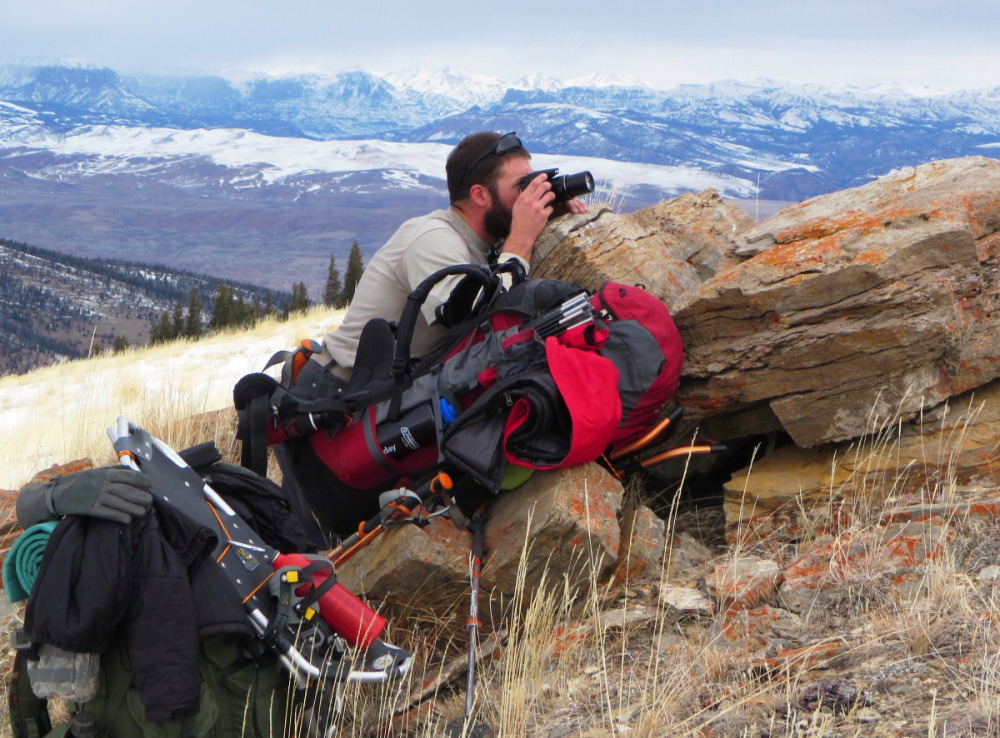
CWC science students participating in the multi-year ICCE project are collecting data on glacial ice-loss and its causes, water flow and quality on the Dinwoody Glacier located on Wyoming’s highest mountain, Gannett Peak. Archaeology students are studying human adaptations to the high alpine and CWC Outdoor Ed students are using critical mountaineering skills to enable the expedition to transpire safely under the guidance of professors Jacki Klancher, Todd Guenther and Darran Wells. Information acquired by this project is provided to several universities and government agencies for use in developing management plans.
“I think our ICCE project is likely to change our understanding of prehistoric peoples’ relationships with the high country and what types of food were available there,” Guenther said.