Home / News / 2020-2021 News / CWC ALUMNA USES GIST FOR FIRE MAPPING
CWC ALUMNA USES GIST FOR FIRE MAPPING
At Central Wyoming College, Geospatial Information Science and Technology courses teach students to use satellite imagery, 3D mapping and computer science to collect and analyze data. This felt like the perfect area of study for Sarah Strehle, who first became interested in geospatial science when she job shadowed an Ohio county soil and water district as a high school student. Already having her bachelor’s degree in zoology, Strehle knew she needed the GIST certificate to kick start her career as a Geographic Information Systems specialist.
“They were tracing watersheds from aerial photos,” she said. “I did not know what a watershed was before that experience, but the quick explanation and being able to trace and see the basin on the image made the concept crystal clear and fascinating.”
After graduating in 2000 from Miami University Ohio, Strehle was working in Yellowstone National Park as a backcountry ranger when she discovered CWC’s program.
“I had joined a campsite mapping project and hiked all over the park collecting GPS data and bringing the data back to an ArcGIS database,” she said. “I was ready to learn more.”
Strehle received a Wyoming Workforce Services scholarship to build her job skills. She completed CWC’s certification program in 2017 while living in the remote Yellowstone area and said she was impressed with her opportunities as a distance learner.
“I had the new experience of building relationships with classmates and instructors through the online platform,” she said. “The classes brought a community to me.”
Although the courses were not set up for online learning at the time, Environmental Health Professor Jacki Klancher said Strehle was allowed to enroll as an exception under the assumption she would follow the course progression from afar.
She did that, and then some. Sarah excelled in every capacity and displayed consistent evidence of the outcomes that emerge when an extraordinarily capable and invested learner sets forth determined to develop a new career path. ”
Jacki Klancher, professor of environmental health
Strehle said both the course content and format became even more helpful last winter when she went on to take National Wildfire Coordinating Group (NWCG) GIS Specialist classes for interagency wildfire and incident response.
“The coursework was really challenging and offered in an online format,” she said. “I was so glad to have a solid background in ArcGIS software and remote learning.”
After completing the training, Strehle registered through a section of NWCG that works with local interagency emergency dispatch centers to distribute casual and emergency workers.
“Most fire personnel have other jobs not in wildland fire throughout the year,” Strehle said. “They list their availability and when they are requested by dispatch, leave home for weeks to work from the fire’s Incident Command Post.”
Strehle was working for Colorado’s White River National Forest Service when she was requested to help manage a forest fire in Glenwood Canyon.
She received notice that both sides of Grizzly Creek were on fire on August 10. Because the area is near Strehle’s work projects on Hanging Lake Trail, she paid close attention to it.
“I followed news of the fire all week and watched the skies fill with dark haze,” she said.
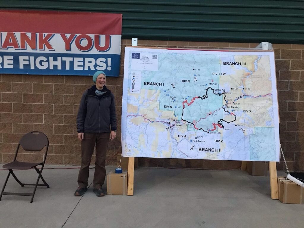
While waiting for the incident management team to arrive and manage firefighters and personnel needed to battle the growing wildfire, Strehle reviewed fire mapping protocols, prepared map templates and camping gear.
By August 15, the fire’s GIS supervisor had enlisted Strehle to work on the fire as a GIS specialist trainee.
“I arrived at the fire incident command on Saturday evening to begin my new job,” she said.
As part of her 14-day assignment, Strehle lived with a GIS team of specialists from Idaho, California, Alaska, Oregon and Colorado at the Grizzly Creek fire camp.
“Even though I live fairly close, I am camping on-site with many other fire personnel,” she said.
As part of the morning crew, Strehle began work at 6 a.m. However, because the workload was particularly heavy for those who arrived at the beginning of an incident, she said she often didn’t finish until 10 p.m.
“They [early responders] set up their work area and build the first run of each type of map product needed to visually display the challenges the firefighters in the field will face in the morning,” Strehle said. “Once the data and map are established, daily editing becomes more routine and orderly.”
As a trainee, Strehle enjoyed working under her remote supervisor who is stationed in Fairbanks, Alaska.
“It’s been really great to work one-on-one with an expert GIS specialist,” she said. “The workflow is based on a data cloud system which easily accommodates remote team members.”
While this job ended on September 5, Strehle hopes to continue using the skills she acquired during future fire assignments.
“My coursework at CWC prepared me to make the most of this unique learning opportunity,” she said.
Klancher commended Strehle for using the program to help advance her career and intellectual pursuits.
“Watching her apply her GIST education to fire mapping is exhilarating,” she said.